Westmorland
This is one of two counties that Carr left out his map of his History of the QTP (1987). One edition of a map of Westmorland has been seen. It completed the series of county maps that Carr had begun in 1966 (see below).
The County of Westmorland was abolished in 1974, after 85 years of existence, when it was merged with Cumberland and parts of Lancashire and Yorkshire to become Cumbria. The 11th visitor attraction is the Derwent Pencil Museum.
(Last updated on 14/2/2026)
MAP-WES1: First and only edition
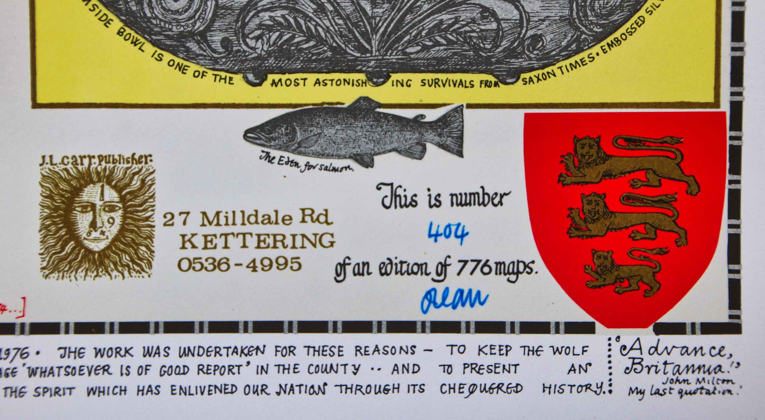
Publisher: J.L. Carr
Year: December 1976, taken from inscription to lower margin
ISBN: 0900847751
Limitation: 776 sheets
Size: 625 x 452 mm
Paper: thin white card
Colophon: sun face
Signed: yes, below limitation at lower right
Proofs where: Kettering Public Library (map), AH (map)
Notes: At the lower margin Carr has written:
This completes the series of English counties begun 10 years ago in 1966 in the back-bedroom of this house & finished there in December 1976. The work was undertaken for these reasons - to keep the wolf from the door whilst five novels were written (you may borrow them from your library at little cost to you & less livelihood to me) . . to put on one big page 'whatsoever is of good reort' in the county . . and to present an optimistic set of testimonials to our igenious, daring and buoyant forbears to hearten those Englishmen who hope for a rekindling of the spirit which has enlivened our nation through its chequered history. 'Advance Britannica' John Milton, my last quotation.
The map is dedicated to Mrs Bell of Appleby . . .
In 2026 the Quince Tree Press were selling unsigned, numbered proofs of the same map with the same limitation for £15.
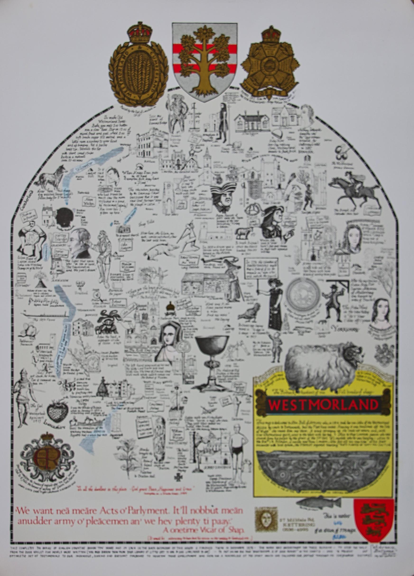
Image of map (click to enlarge)
Detail of limitation (click to enlarge)