Warwickshire
In his History of the QTP (1987) Carr reported that he had published three editions of a map of Warwickshire. Three have been seen, including what is probably one of the earliest county maps, designed by Carr in 1967 with his son, Robert. In an article in The Birmingham Evening Mail on 15th March 1968 (p 18), Carr reported that this was his third published map, after Northamptonshire and Norfolk.
(Last updated on 7/12/2020)
MAP-WAR1: First edition
Publisher: Published at 27 Mill Dale Road, Kettering, 4995
Year: 1967
ISBN: none
Limitation: none specified, but more than 199
Size: 510 x 330 mm
Paper: white card
Colophon: none
Signed: no information
Proofs where: AH (map)
Notes: The map was Drawn by R.D. & J.L. Carr during September and October 1967 with some Warwickshire people, by birth or living long there, in mind.
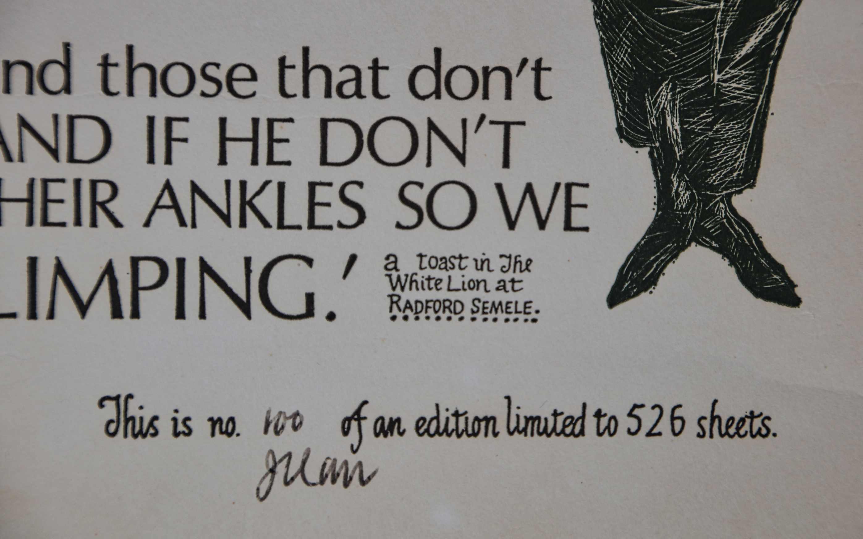
There is no limitation but the proof seen is numbered 199. It is unusual in that the sheet number and signature are written in pencil.
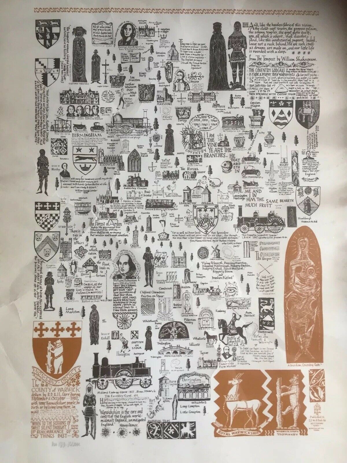
Image of map (click to enlarge)

Detail of limitation (click to enlarge)
MAP-WAR2: Second edition
Publisher: J.L. Carr, 27 Mill Dale Road, Kettering, Northamptonshire
Year: November 1970
ISBN: 0900847115
Limitation: 526 sheets
Size: 526 x 488 mm (proof sheet)
Paper: no information
Colophon: sun face and address, lower left corner
Signed: no information
Proofs where: AH (map & proof), British Library (proof, split in two; acc date 3 Jun 71)
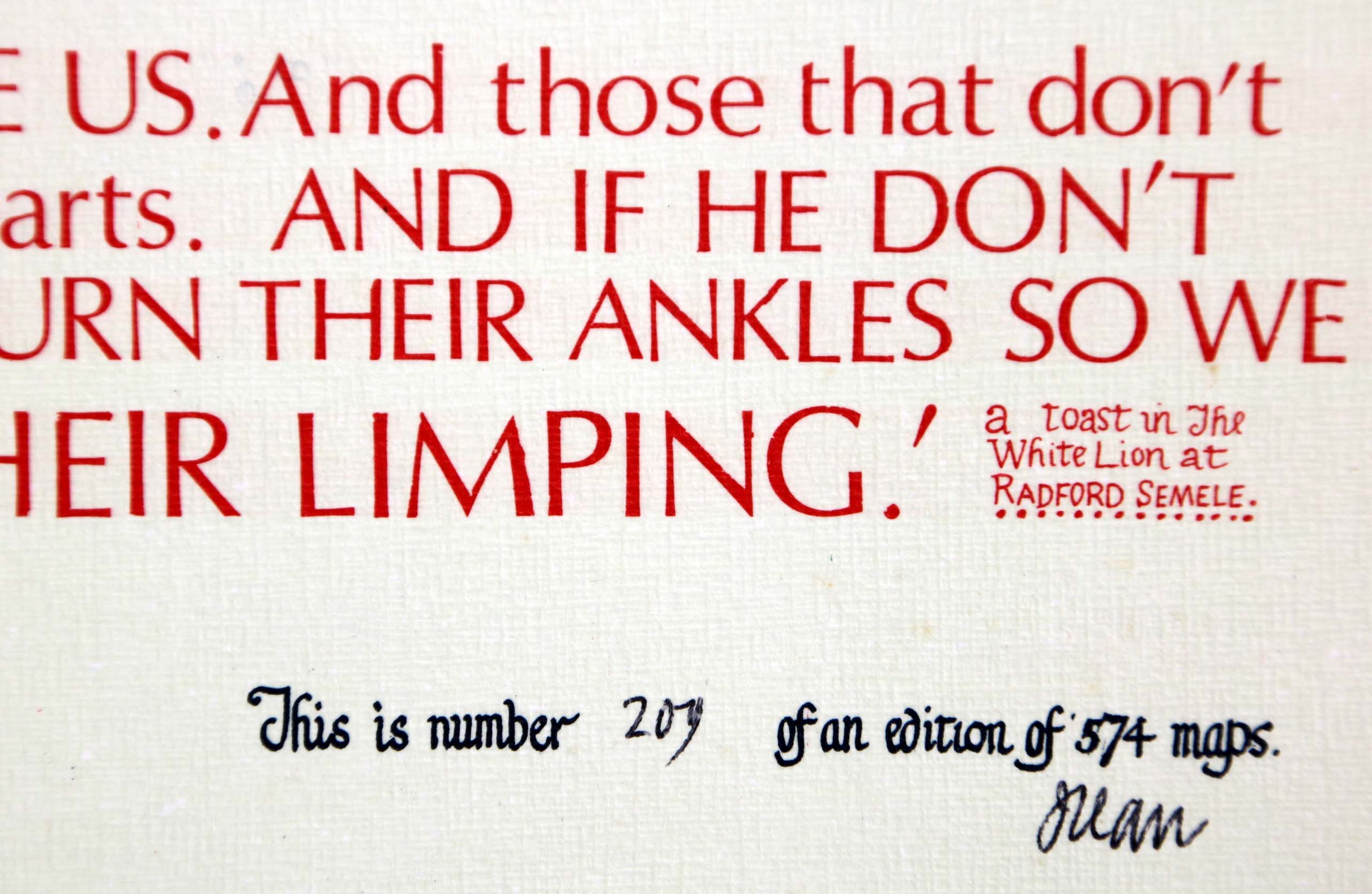
Notes: The quotation at the base:
May those that love us, love us. And those that don't love us, may God turn their hearts. And if he don't turn their hearts, may he turn their ankles so we shall know them by their limping.
The same quotation was used on the second edition. The map is different in some details: on the right is a glass engraving; to the lower left is a standing man.

Image of map (click to enlarge)
Detail of limitation (click to enlarge)
MAP-WAR3: Third edition
Publisher: J.L. Carr, 27 Mill Dale Road, Kettering, Northamptonshire
Year: 1974
ISBN: none
Limitation: 574 sheets
Size: 628 x 414 mm
Paper: thin white card
Colophon: sun face only with address to right, lower left
Signed: below limitation and lower margin
Proofs where: AH (map & proof)
Notes:
In this edition the man to the left has been removed and the glass engraving to the right has been replaced with an drawing of a cross which once stood in Coventry.
The quotation at base is the same as the second edition.
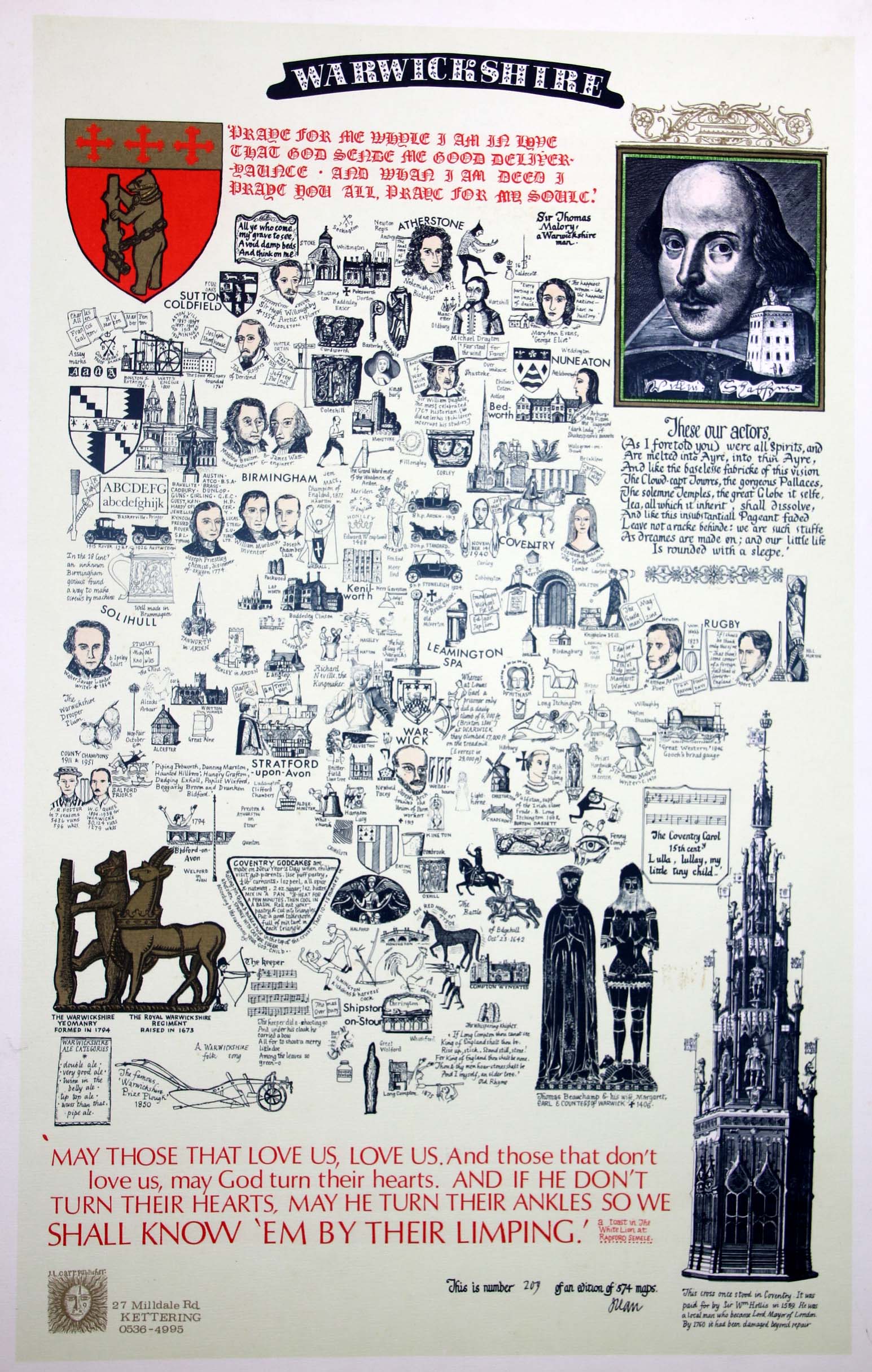
Image of map (click to enlarge)
Detail of limitation (click to enlarge)