Oxfordshire
In his History of the QTP (1987) Carr reported only one edition of a map of Oxfordshire, and only one has been seen. It is in a small edition which makes it one of the rarest of Carr's county maps.
(Last updated on 7/12/2020)
MAP-OXF1: First and only edition
Publisher: J.L. Carr, 27 Mill Dale Road, Kettering
Year: 1969
ISBN: 0900847077
Limitation: 350 sheets
Size: 575 x 452 mm
Paper: thin white card
Colophon: sun face with address, lower right corner
Signed: Yes, underneath the limitation at the centre of the lower margin
Proofs where: Kettering Public Library (map); AH (map & proof)
Notes: A poem by Hilaire Belloc either side of the Anglo-Saxon carved stone rood below the title.
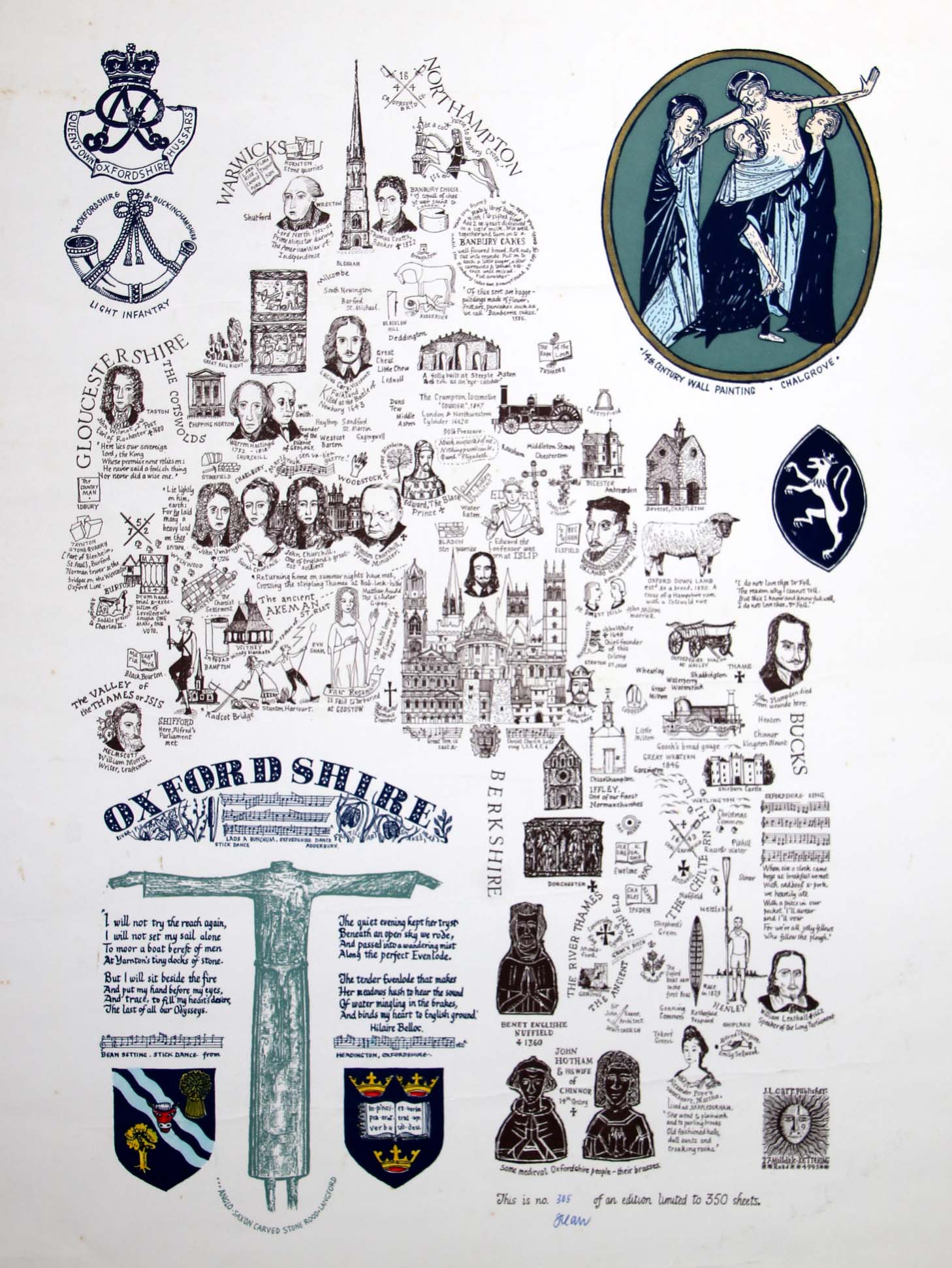
Image of map (click to enlarge)
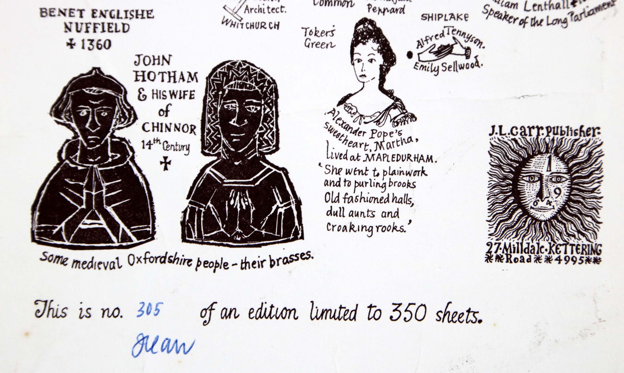
Detail of limitation (click to enlarge)