Northumberland
In his History of the QTP (1987) Carr reported two editions of maps of Northumberland, and two have been seen. But one of the editions was reprinted as a limited edition of the same number of copies, so there are probably two impressions of 502 sheets each of the first edition.
(Last updated on 14/2/2026)
MAP-NORTHU1: First edition, first impression
Publisher: none stated
Year: 1971
ISBN: 0900847204
Limitation: 502 sheets
Size: 629 x 445 mm
Paper: thin white card
Colophon: none
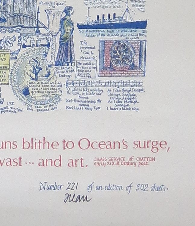
Signed: Yes, under limitation to lower right margin
Proofs where: AH (map & proof)
Notes: Quotation at bottom from poem by James Service:
From all thy wilds, from Tweed's remotest verge to where the Tyne runs blithe to ocean's surge, No son of thine, wheresoe'er his heart, but feels it swell at what thou wast...and art.
There is no indication that this map is published by J.L. Carr other than his signature at the bottom. His name and address are not given and there is no colophon.
This impression is printed on different ink from the second impression (blue rather than brown) and on larger paper. The proof that I have is decorated in hand with watercolours and, as the serial number is higher (271) than the other proof I have (112) which is not decorated, I think that this is the first impression.
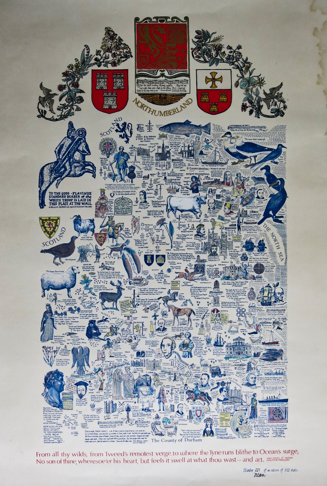
Image of map (click to enlarge)
Detail of limitation (click to enlarge)
MAP-NORTHU1: First edition, second impression
Publisher: none stated
Year: not known
ISBN: 0900847204
Limitation: 502 sheets
Size: 611 x 393 mm
Paper: thin white card
Colophon: none
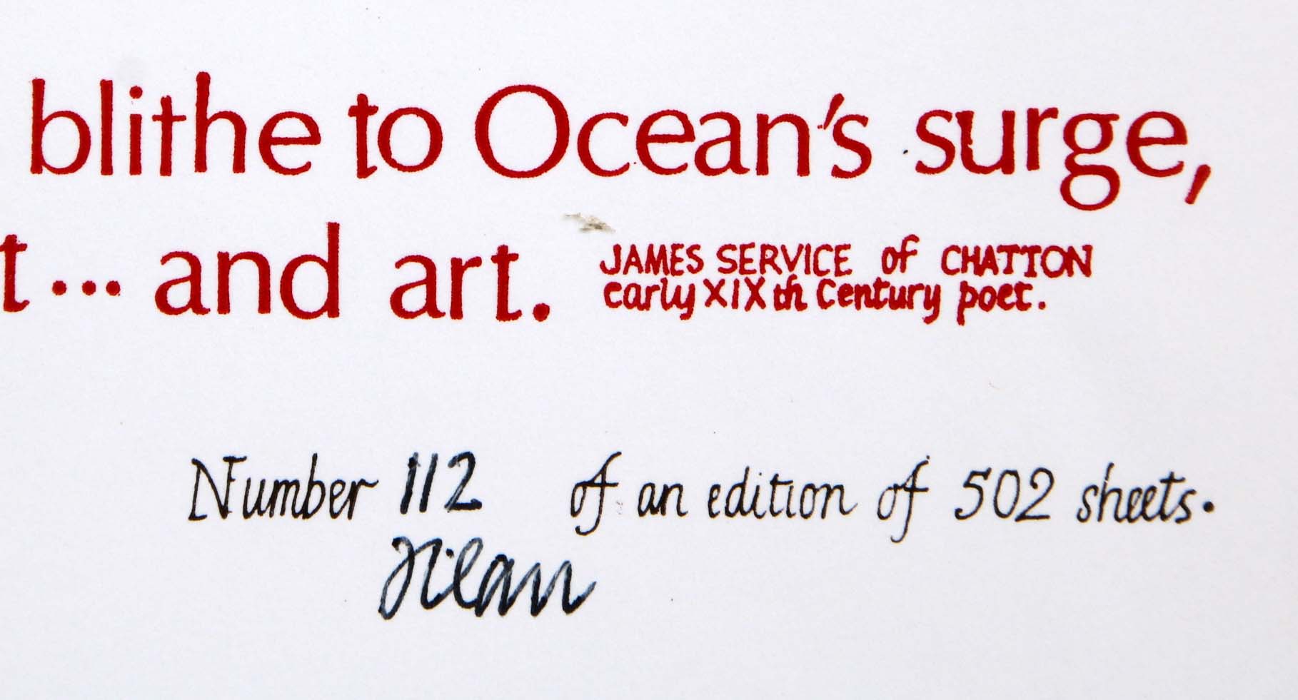
Signed: Yes, under limitation to lower right margin
Proofs where: Kettering Public Library (proof); AH (map & proof)
Notes: Quotation at bottom from poem by James Service:
From all thy wilds, from Tweed's remotest verge to where the Tyne runs blithe to ocean's surge, No son of thine, wheresoe'er his heart, but feels it swell at what thou wast...and art.
There is no indication that this map is published by J.L. Carr other than his signature at the bottom. His name and address are not given and there is no colophon.
This impression is printed in brown ink and is on smaller paper than what I think is the first impression. As my proof is not decorated in watercolours by hand (the colours at the top are printed), I think it's a second impression, also limited to 502 sheets.
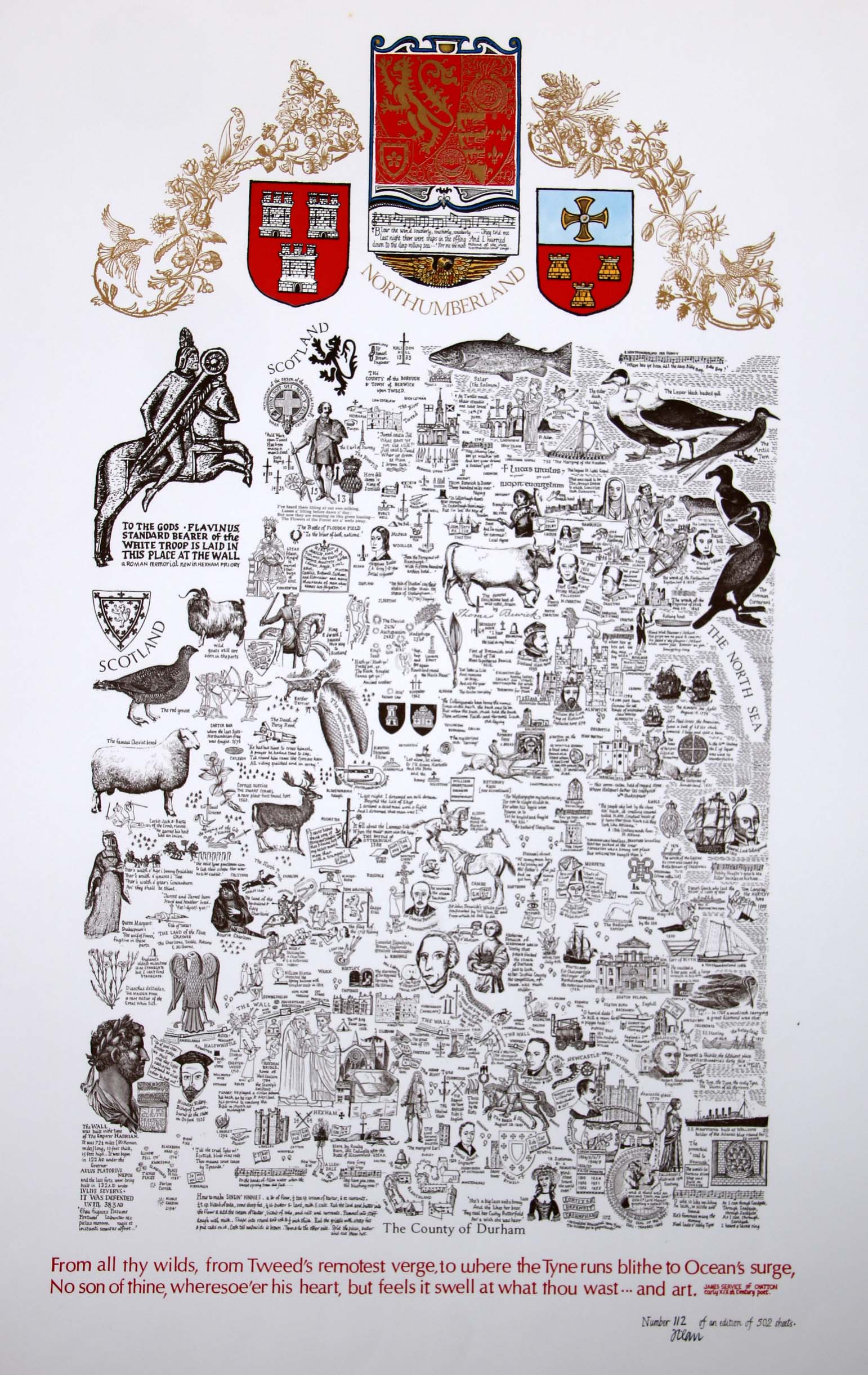
Image of map (click to enlarge)
Detail of limitation (click to enlarge)
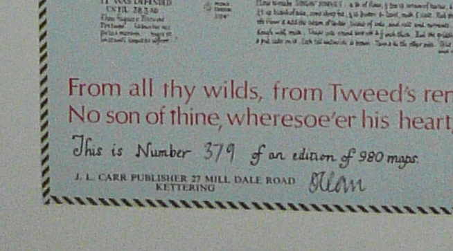
MAP-NORTHU2: Second edition
Publisher: J.L. Carr
Year: 1980
ISBN: none
Limitation: 980 sheets
Size: 627 x 393 mm
Signed:
Proofs where:
Notes: The main body of the map is the same as the First edition, but the design across the top has been changed and a ship with music has replaced the horse on its hind legs at the left.
Thanks to Tim Dean for the photograph of the map.
In 2026 the Quince Tree Press were selling unsigned, numbered proofs of the same map with the same limitation for £15.
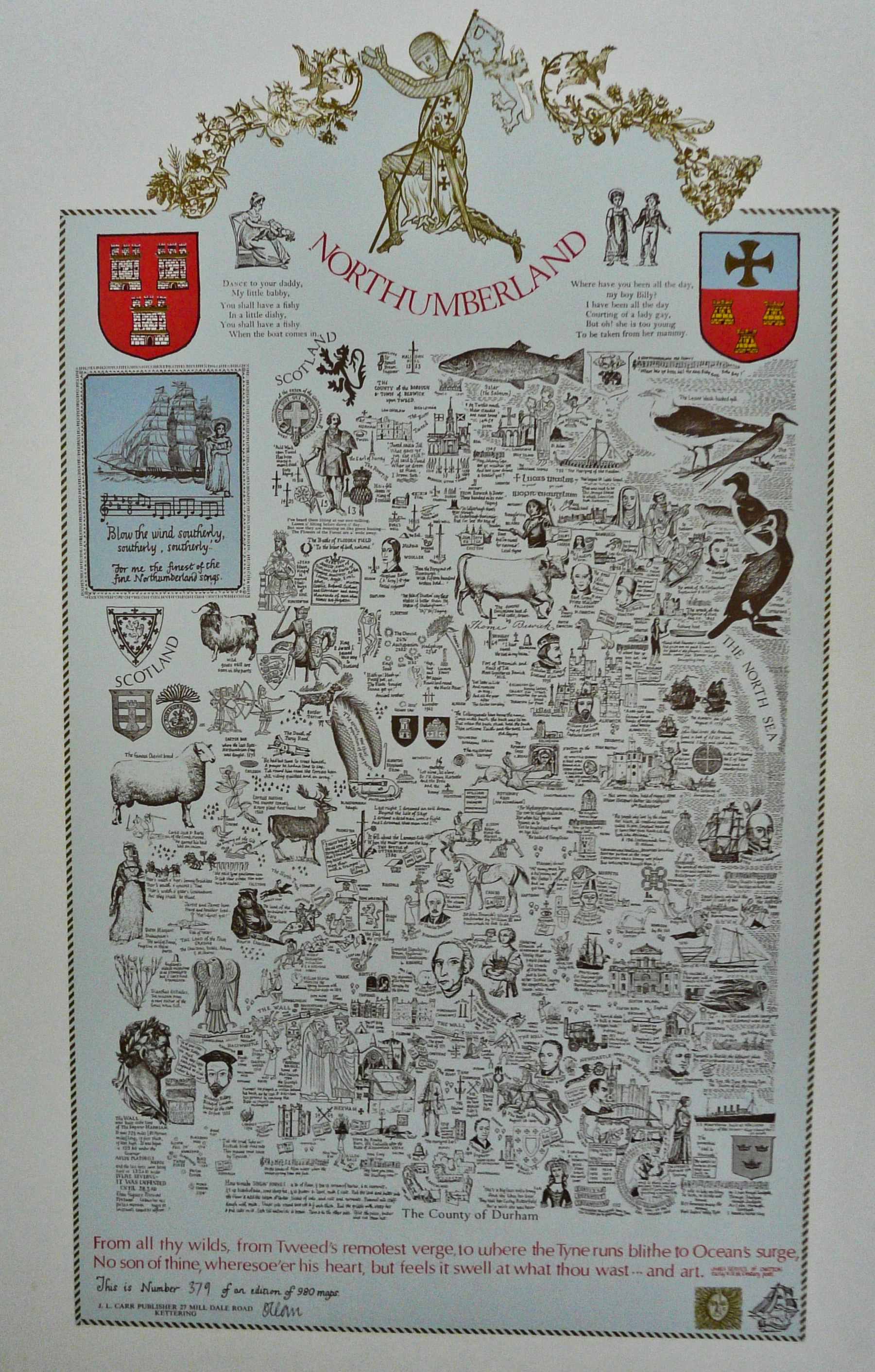
Image of map (click to enlarge)
Detail of limitation (click to enlarge)