Herefordshire
Carr reported in his History of the QTP (1987) that he had issued two maps of Herefordshire.
(Last updated on 14/2/2026)
MAP-HERE1: First edition
Publisher: J.L. Carr, 27 Mill Dale Road, Kettering
Year: September 1972
ISBN: 0900847328
Limitation: 572 sheets
Size: 627 x 432 mm
Paper: thin white card
Signed: Yes
Proofs where: Kettering Public Library (map); AH (map & proof)
Notes: This is printed in black with red text and then coloured by hand at the top, bottom and both sides, I think.
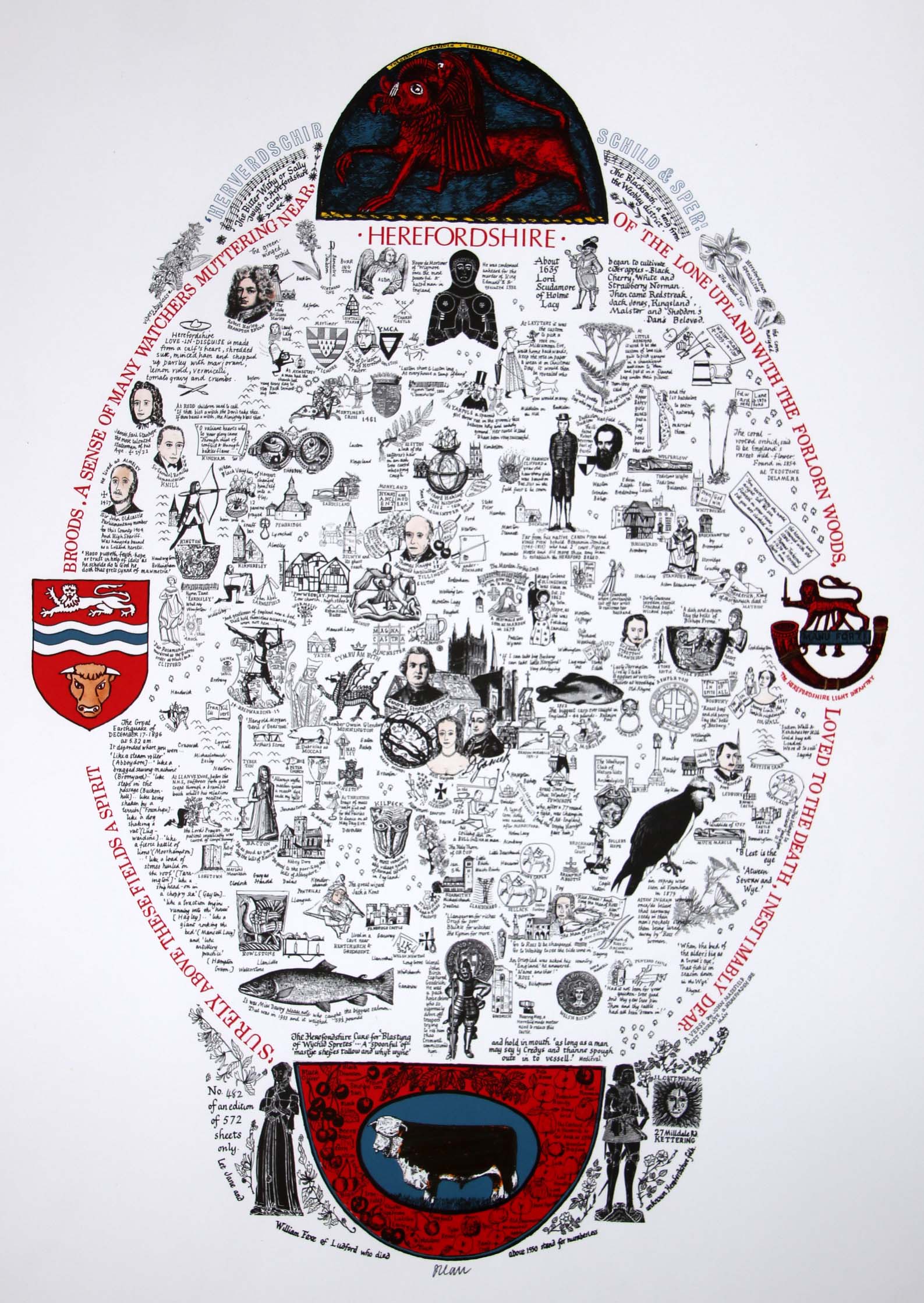
Image of map (click to enlarge)
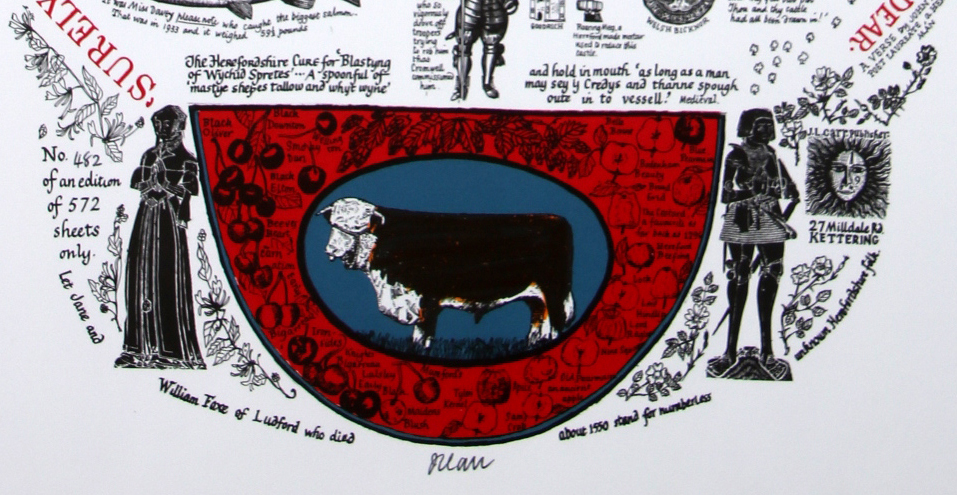
Detail of limitation (click to enlarge)
MAP-HERE1: Second edition
Publisher: J.L. Carr, 27 Mill Dale Road, Kettering
Year: 1981
ISBN: none
Limitation: 981 sheets
Size: 558 x 429 mm (to be checked as AH proof may have been trimmed)
Paper: thin white card
Signed: Yes, lower right underneath main printed area
Proofs where: AH (map)
Notes: This is printed in colours. The central oval and the illustrated decorations at the top, bottom and sides are the same as the first edition, just reduced in size a little. The colophon to the right has been removed and the limitation moved to the base, underneath the main printed area. The area around the central oval, printed in light green, which was bare in the first edition is decorated with medieval woodcuts.
In 2026 the Quince Tree Press were selling unsigned, numbered proofs of the same map with the same limitation for £15.
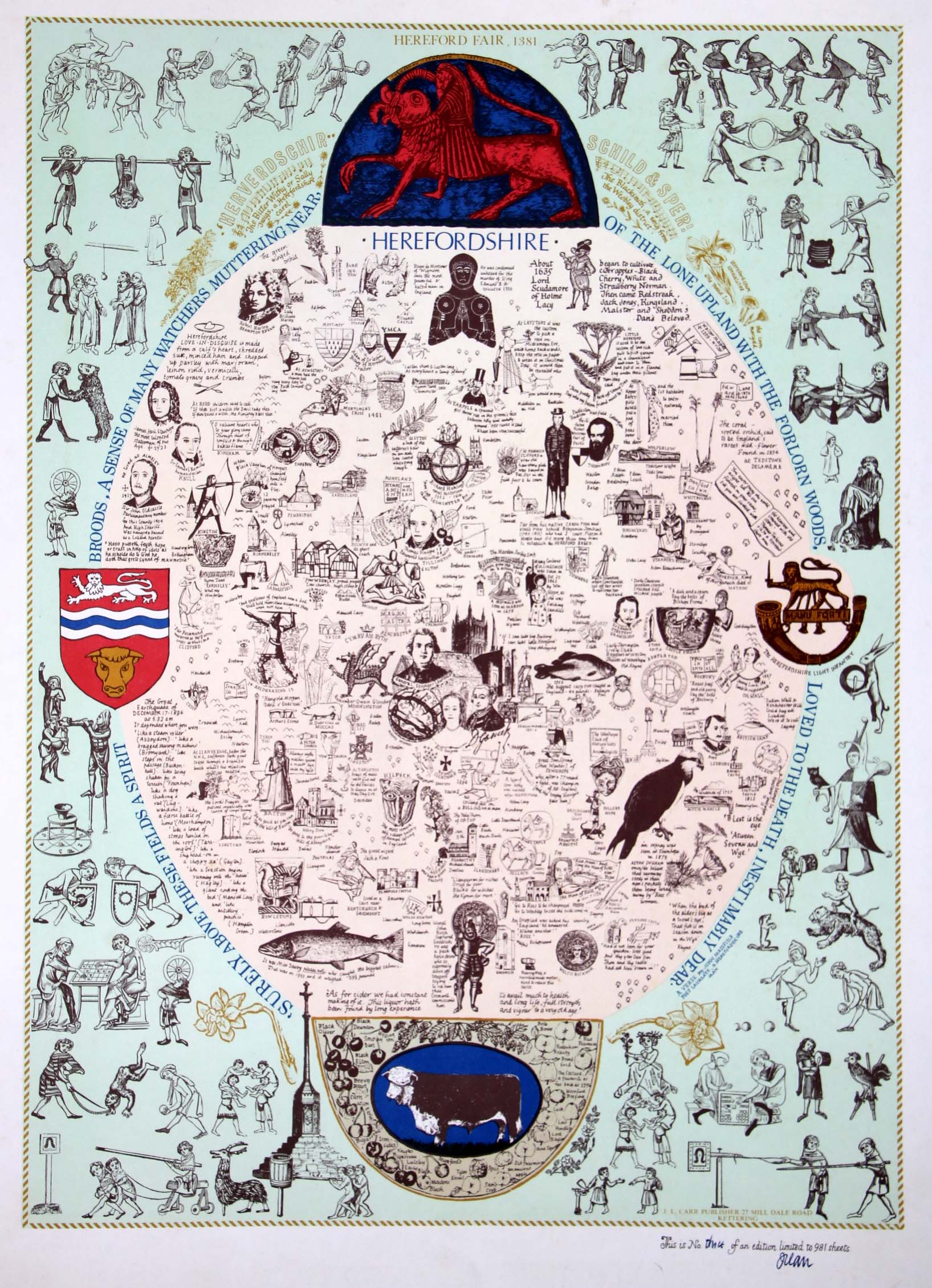
Image of map (click to enlarge)
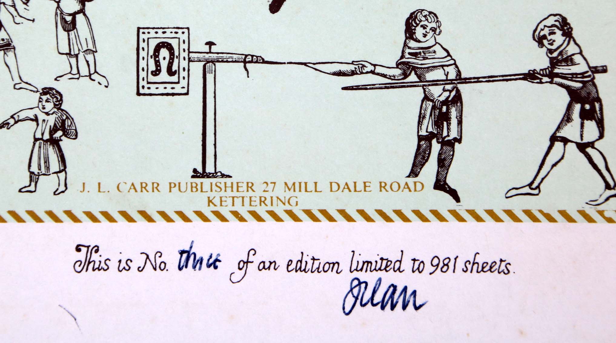
Detail of limitation (click to enlarge)