Cheshire
Two maps of Cheshire are known.
(Last updated on 14/2/2026)
MAP-CHE1: First edition
Publisher: J.L. Carr, 27 Mill Dale Road, Kettering
Year: May 1974, according to Amazon
ISBN: 0900847409
Limitation: 774 sheets
Size: 448 x 538 mm
Paper: thin white card
Signed: Yes, below limitation
Proofs where: AH
Notes: This map is also dedicated to these County worthies - 'Maggoty; Johnson [d. 1773] of GAWSWOTH who was a wonderful singer but whose facial contortions were so hideous that audiences insisted he must stand with his face towards the wall... etc'

Image of map (click to enlarge)
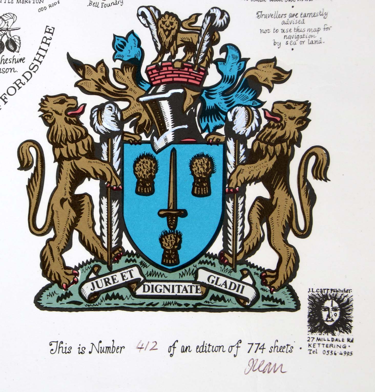
Detail of limitation (click to enlarge)
MAP-CHE2: Second edition
Publisher: J.L. Carr
Year: 1982
ISBN: none
Limitation: 982 sheets
Size: 453 x 436 mm
Paper: thin white card
Signed: Yes, below lower margin, right
Proofs where: Kettering Public Library; AH
Notes: Dedicated to John Speed of Farndon, +1629
In 2026 the Quince Tree Press were selling unsigned, numbered proofs of the same map with the same limitation for £15.
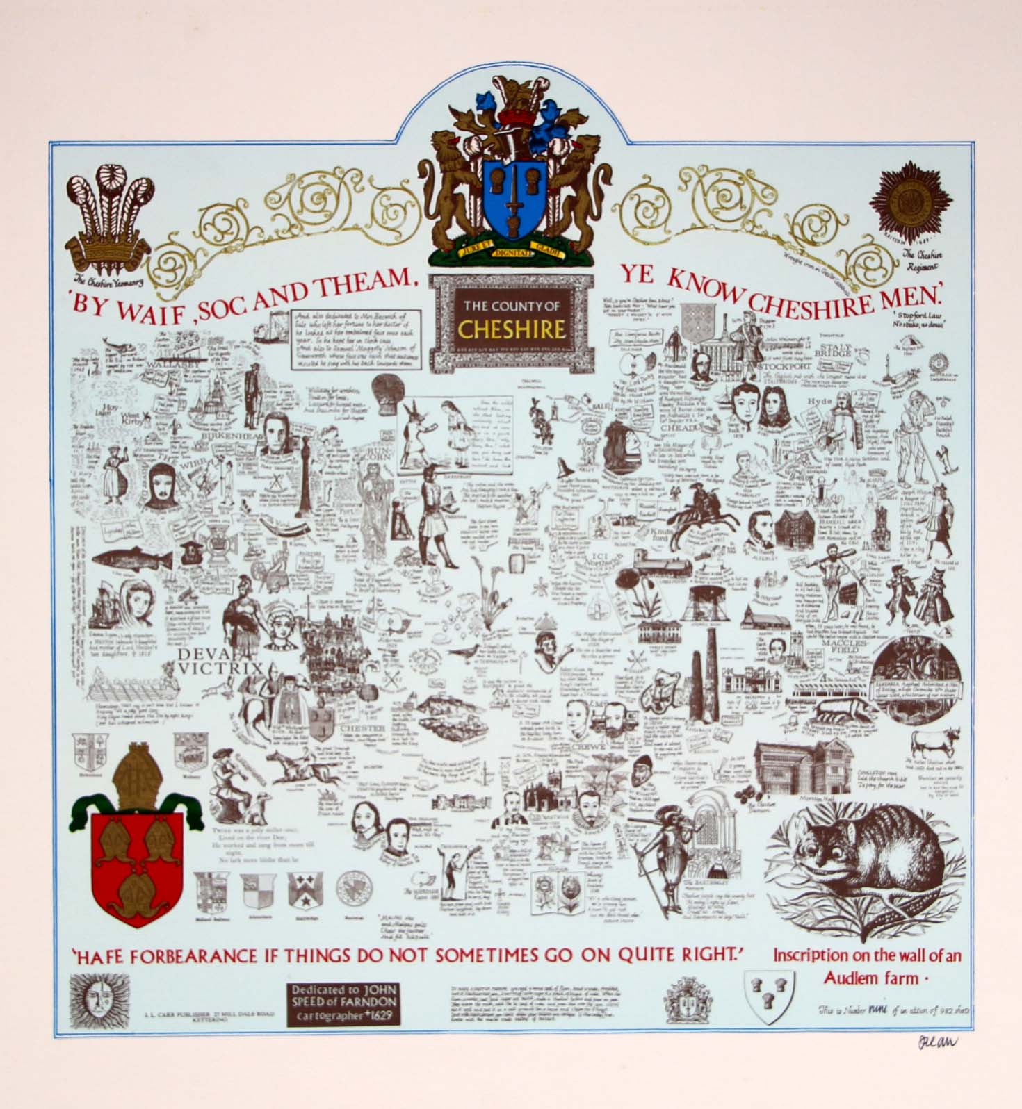
Image of map (click to enlarge)
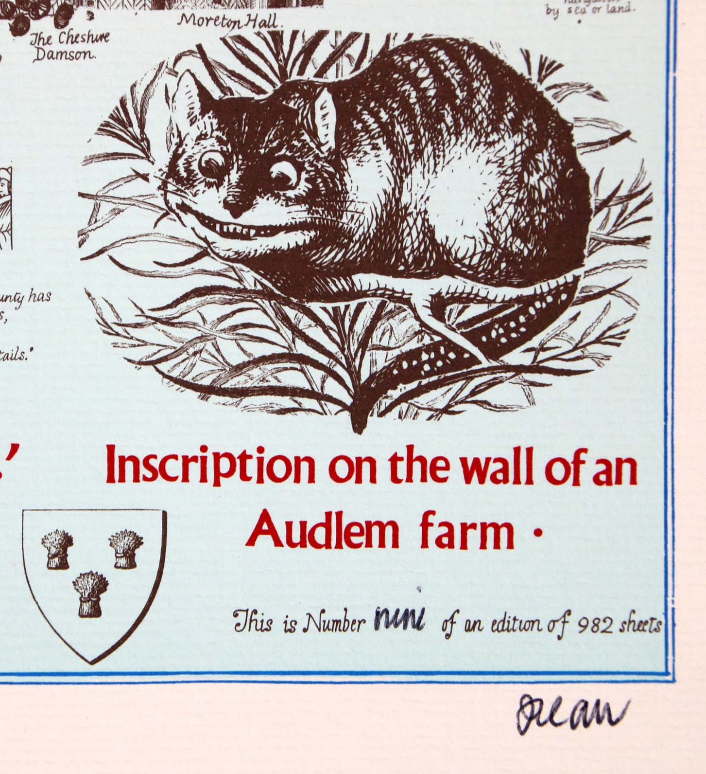
Detail of limitation (click to enlarge)